Watershed Maps
Chatfield Watershed Maps
Preview and then click through to see enlarged versions of the maps below.
-
Hayman Fire Burn Area

-
Climate and Precipitation

-
Current Land Use

-
Future Land Use

-
Groundwater and Surfacewater

-
Overall Watershed Map

-
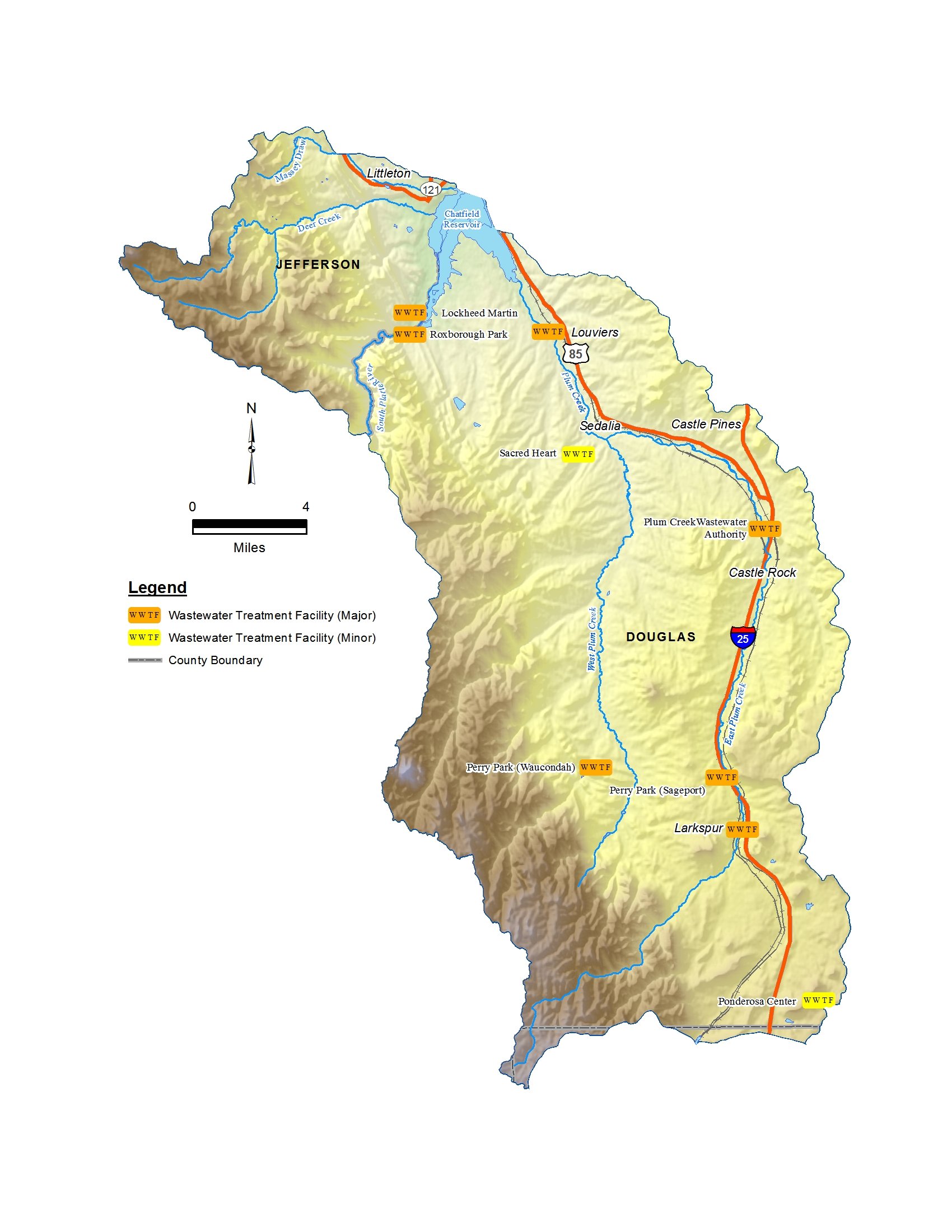
Wastewater Treatment Facilities

-
Watershed Opportunities

-
Parks and Open Space

-
Parks and Open Space Presentation

-
Population 2010–2015

-
Septic System Locations

-
Soils Groups

-
Topography

-
Vegetation and Land Cover

-
Water Quality Monitoring Locations

-
Wastewater Treatment Facilities and Stormwater Permit Areas

-
Other

